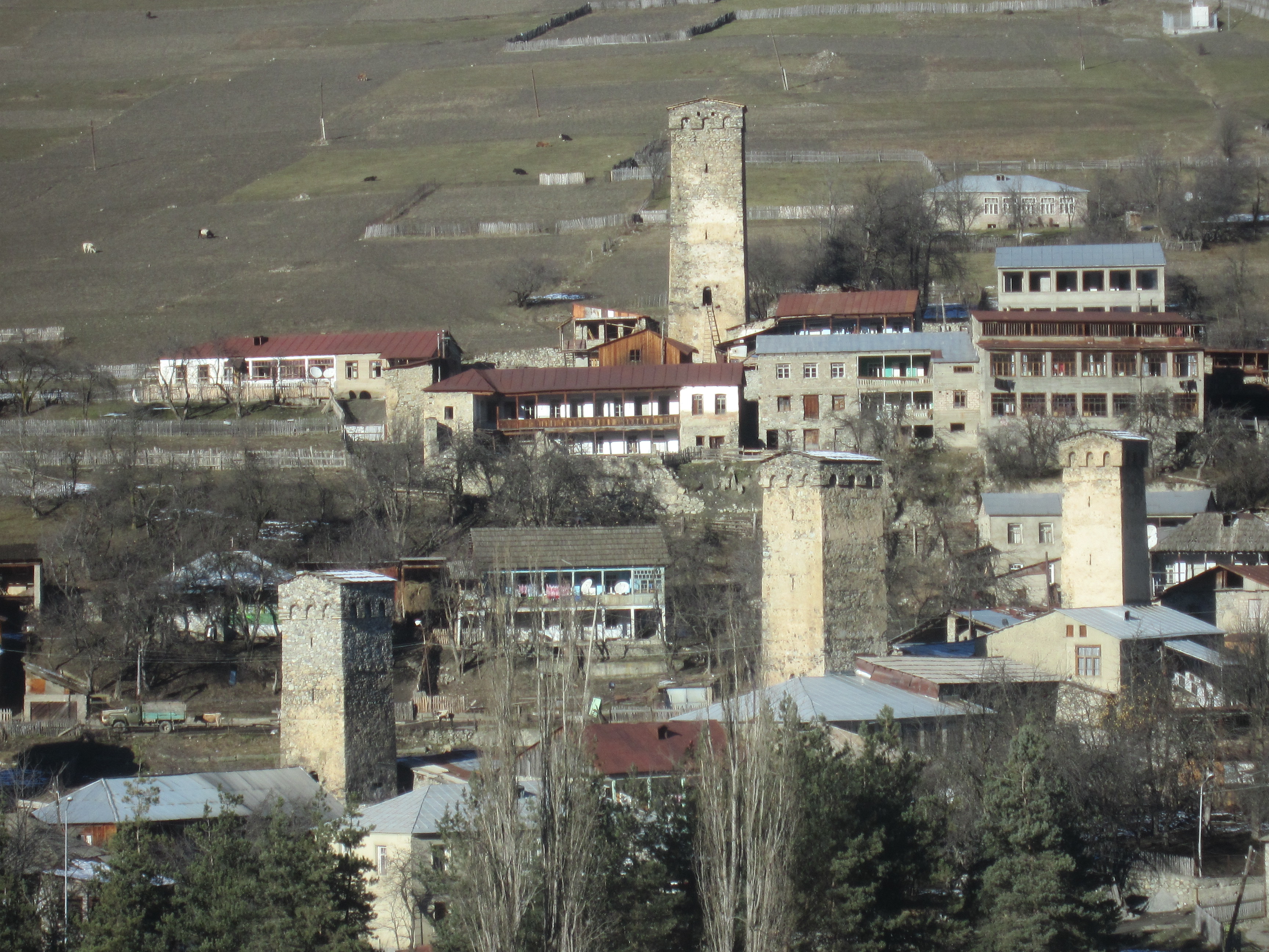
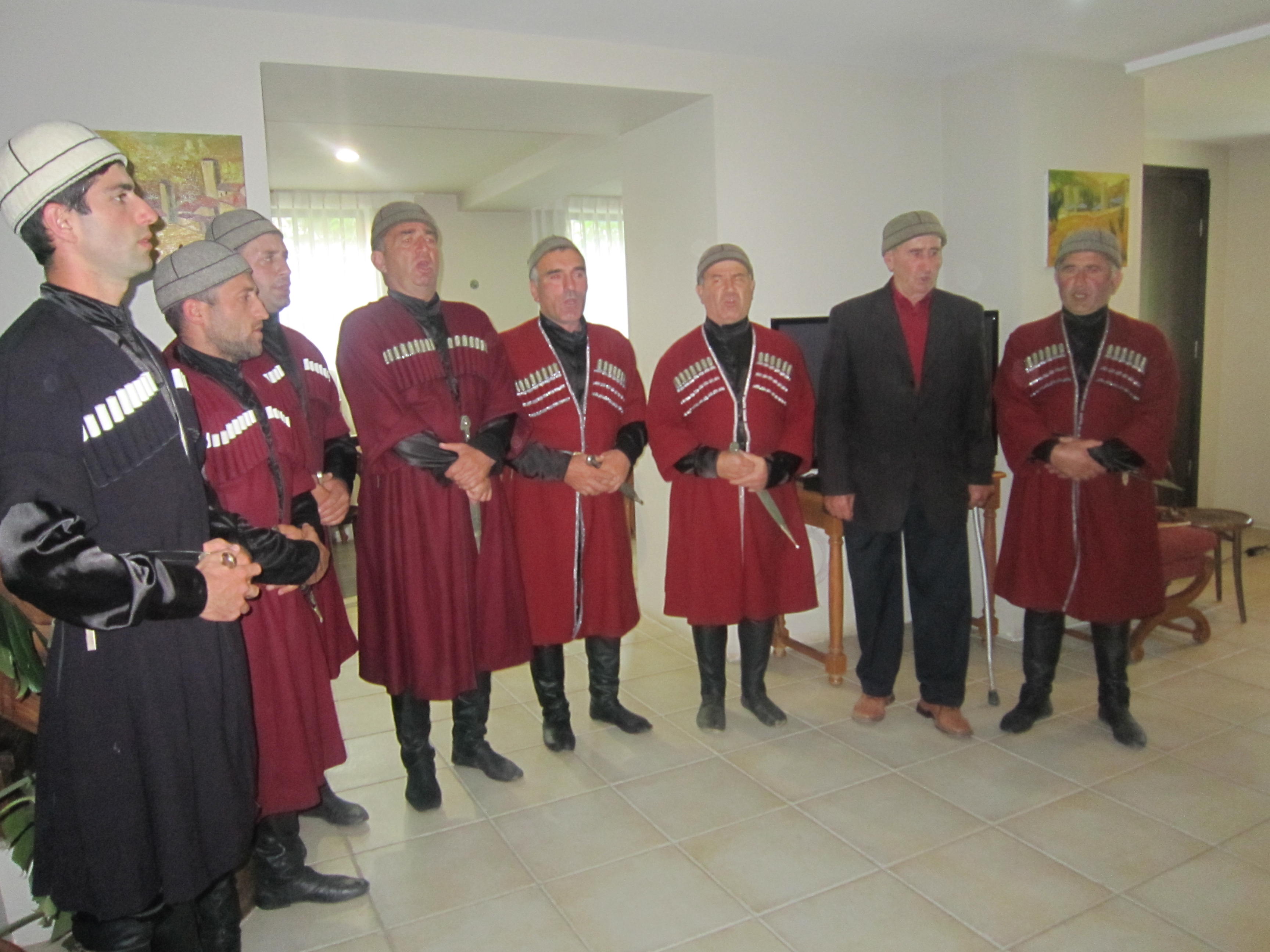
Svaneti

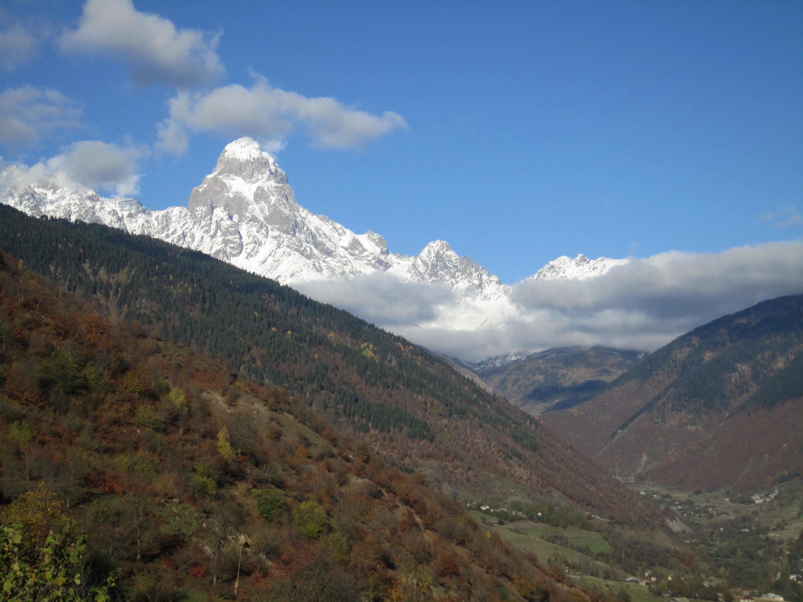
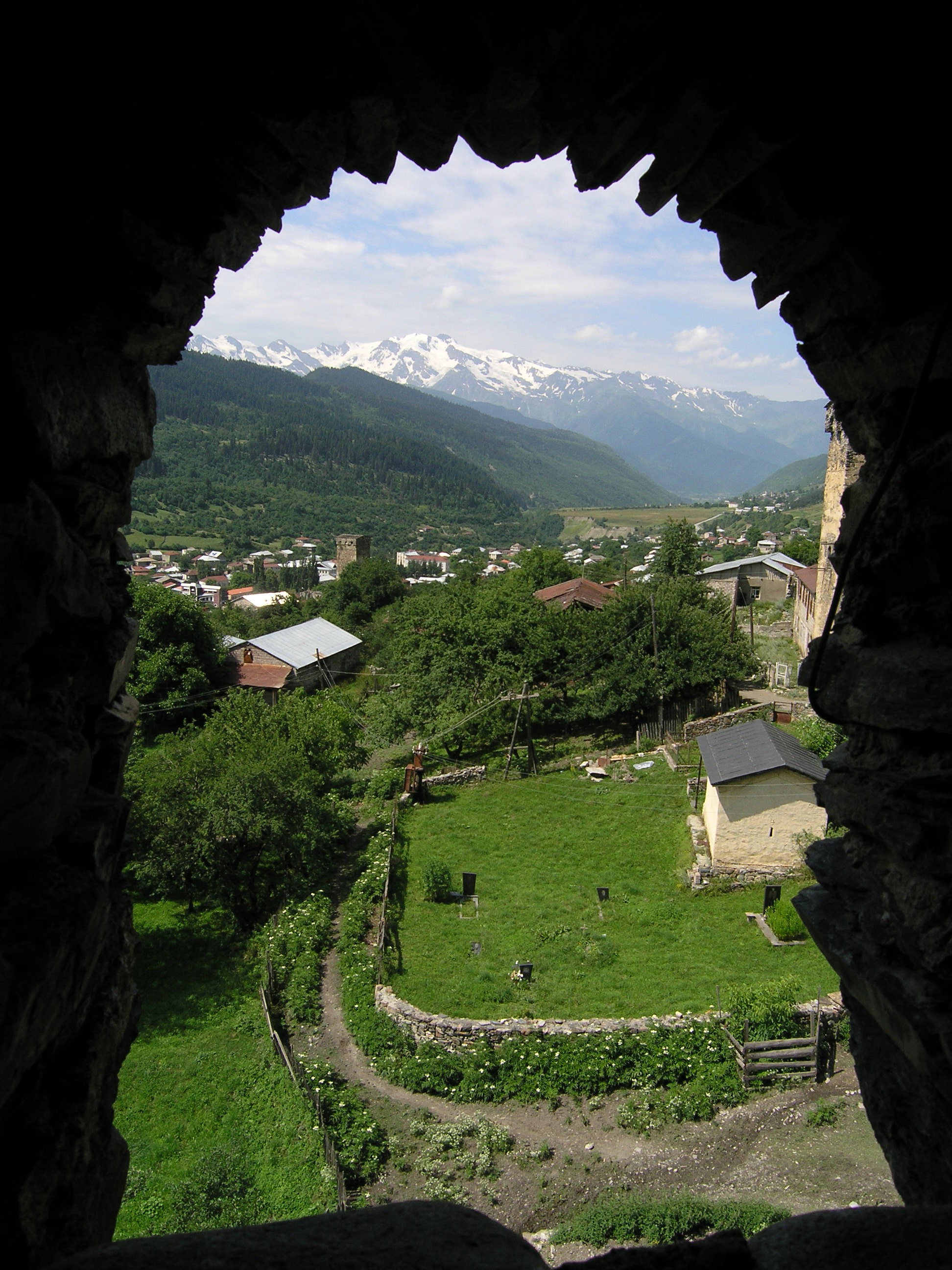
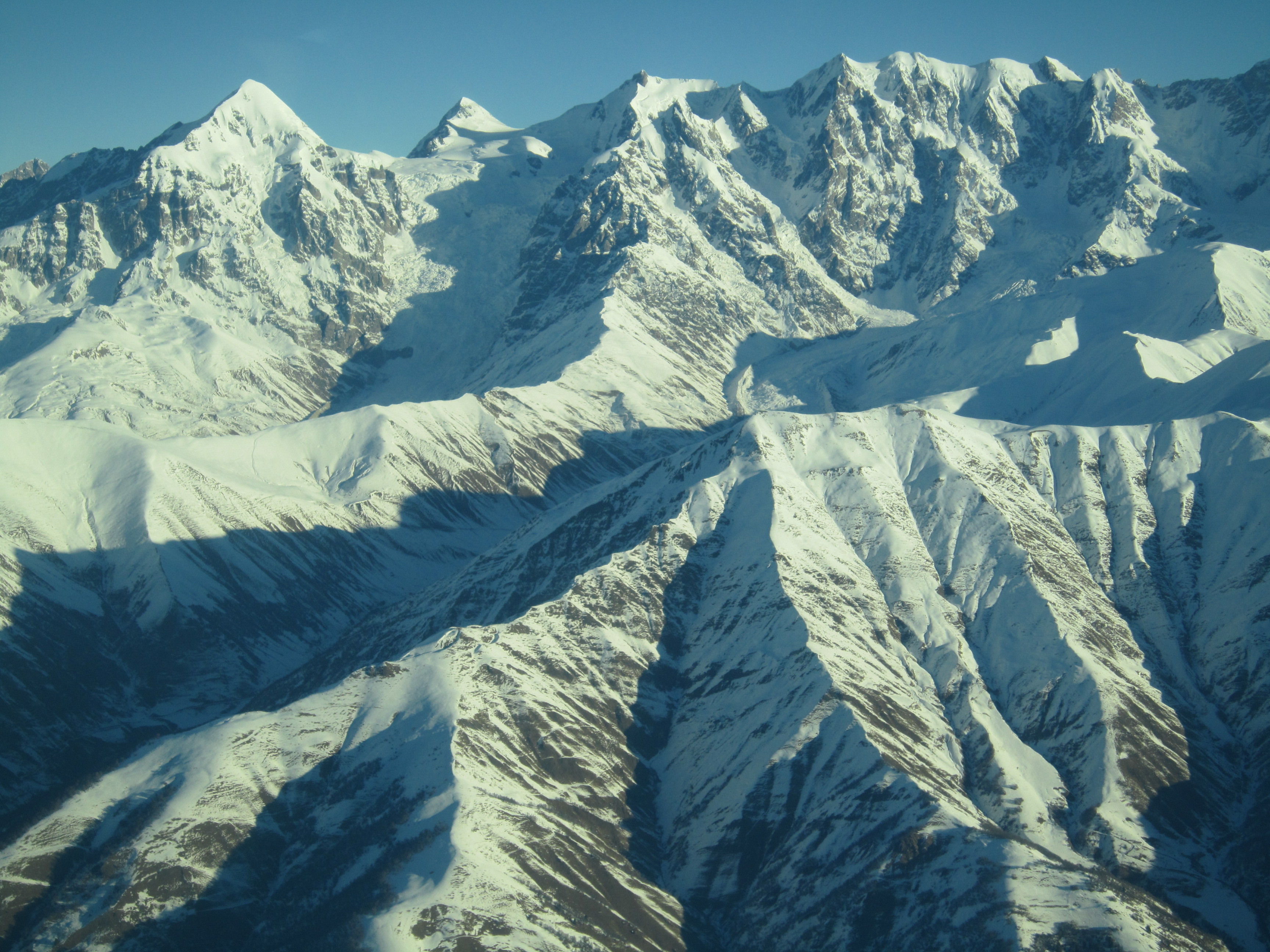
Geography & Landscape. The province of Svaneti belongs to Samegrelo-Zemo Svaneti region and Racha-Lechkhumi and Kvemo Svaneti region. Upper or Zemo Svaneti is Mestia region, while Lower or Kvemo Svaneti is Lentekhi region. This part of the South Caucasus, starting from Kodori range and ending at the Pasi Mountain, is called Svanetian Caucasus, including gorges of the rivers Enguri and Tskhenistsqali from their midstream to the headwaters. Svaneti harbours the major Caucasus peaks and the largest glaciers marvelously hanging over the Caucasus Mountains like an icy crown. The total area of them equals 300 sq. km. The highest inhabited area in the whole Caucasus, Svaneti boasts 5.000 meter peaks, with 10 peaks – the highest along the Caucasus range. Some famous mountains are: Mt. Shkhara (5068 m.) – the highest in Georgia, Mt. Tetnuldi (4974 m.), Mt. Shota Rustaveli (4,960m ), Mt. Mazeri (4010 m.) and a well-known steep rock massif of twin-headed Ushba (4710 m.) is a paragon of a natural beauty and complexity among the Caucasus Mountains, similar to Matterhorn (4478 m.) in Alps.
Most of Svaneti region is cut by deep gorges and is covered by mixed forests. The biggest part of it lies below 1.800 m above the sea level while the zone of about 3.000 m above the sea level consists of alpine meadows and grasslands.